Great Barrier Reef
In September of 2014, the Khaled bin Sultan Living Oceans Foundation completed a detailed assessment of coral reefs in the Northern Great Barrier Reef (NGBR) on the Global Reef Expedition. Once again, the Foundation brought along an iLCP photographer to document the journey. For this mission, Living Ocean Foundation scientists chose to focus their research on what was, at the time, the most remote and least-studied portion of the reef. Little did we know that this research would be the last major research expedition to survey the Northern Great Barrier Reef before devastating mass bleaching events hit the reef in 2016 and 2017, providing invaluable baseline data on the coral and fish communities before bleaching.
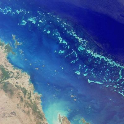
The Great Barrier Reef stretches for more than 2000 kilometers up the Northeast Australian coast and is so large that it is visible from space. The reef is designated as a UNESCO Marine World Heritage Site and is federally protected by the Great Barrier Reef Marine Park Authority, one of the largest and best-managed marine protected areas in the world. But despite world-class protections, corals on the Great Barrier Reef are in decline. Previous studies of the Great Barrier Reef found that coral decline on the GBR was largely caused by land-based stressors, things like nutrient runoff and sedimentation. For this reason, we chose to focus on the relatively pristine and remote northern part of the Great Barrier Reef, where there is less human influence from land, fewer people, and less fishing pressure.
In response to some of the reef’s decline, the Great Barrier Reef Marine Park Authority put new regulations in place in 2004. They created blue zones that could be fished, green zones as no-take zones, and pink zones that were no-take and no-entry. The Foundation’s research expedition conducted identical surveys in the pink, green and blue areas to determine differences in the reef and fish populations between these zones.
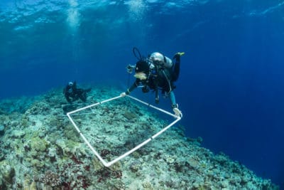
This research expedition conducted the first comprehensive assessment of the reefs in the Far Northern Management Region of the Great Barrier Reef. The Foundation surveyed the reefs to identify what lives on them, such as coral, sponges, seagrass, and algae. The scientists also looked at individual coral colonies to identify different species and note the condition of the corals and conducted fish surveys to assess the abundance and diversity of reef fish. On this research expedition, scientists specifically looked at the numbers of sharks present in each of the different management zones. Over the course of 30 days (Sep 1-Oct 2, 2014), scientists conducted a total of 565 reef fish surveys, 145 shark and pelagic fish surveys, 864 benthic surveys, 432 coral surveys, 381 rugosity assessments, and 1,932 photo-transects at 166 sites on 29 reefs.
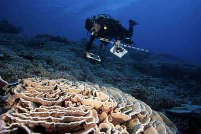 The Global Reef Expedition mission to the Great Barrier Reef set out to answer questions about the effectiveness of the management zones, the role of top predators like sharks in coral conservation, and collect baseline data of the reefs in the NGBR, where the Australian government had proposed to expand agriculture development. What we found was that management zones worked, but the structure of the reef was the strongest indicator of a healthy fish population, regardless of the type of management zone.
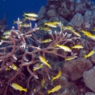
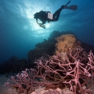
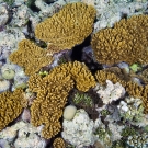
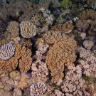
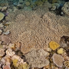
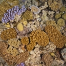
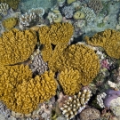
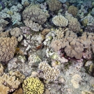
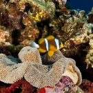
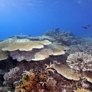
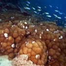
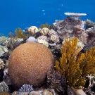
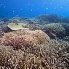
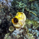
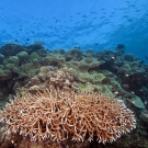
Photographs above by iLCP photographer Jürgen Freund.
Results from the Great Barrier Reef
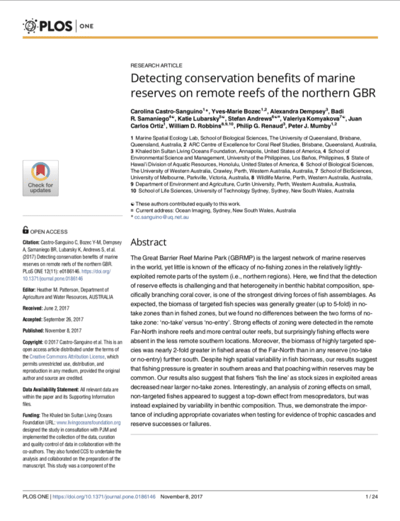
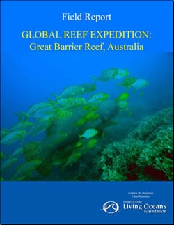
Results from the Global Reef Expedition mission to the Northern Great Barrier Reef have been published in the peer-reviewed literature. The primary findings from the Expedition were published in PLOS One: Detecting conservation benefits of marine reserves on remote reef of the northern GBR. Preliminary findings from the expedition are summarized in the Global Reef Expedition Field Report. Additional publications covered demographic traits of coral-reef fishes and the diversity and structure of parrotfish assemblages.
