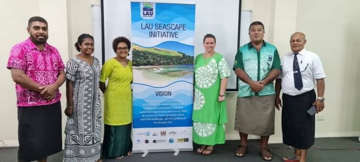
The Lau Seascape Initiative (LSI) is a program that focuses on the conservation and protection of marine ecosystem resources in the Lau region of Fiji. With multiple stresses such as climate change and overharvesting of coastal fisheries, the Indigenous peoples of Lau, in conjunction with the NGO Conservation International, have joined together to create a roadmap for protecting Lau’s biodiversity and ecosystems while in tandem with promoting sustainable development solutions for the local stakeholders.
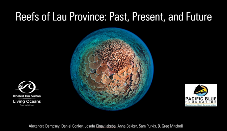
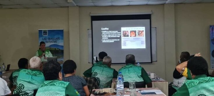
One of the goals of this program was to bring together scientists, traditional leaders, government officials, and the people of Lau for the LSI Planning Retreat. The retreat took place in early March of this year in Suva, Fiji’s capital city. I was asked by Conservation International to speak to the LSI group about past work conducted in Lau by The Khaled bin Sultan Living Oceans Foundation (KSLOF) as well our future work with our in-country conservation partner the Pacific Blue Foundation. The title of my presentation Reefs of Lau Province: Past, Present, and Future, explains local, regional, and global context for status of the Lau reefs and what new technologies and methods KSLOF is helping refine for sustainable coral reef management.

The Khaled bin Sultan Living Oceans Foundation (KSLOF) conducted the Global Reef Expedition – the largest coral reef survey and mapping expedition in history. The Global Reef Expedition was a ten-year mission to survey the health and resiliency of coral reefs around the world. In June of 2013, the Global Reef Expedition came to Fiji to assess the state of their coral reefs and create detailed habitat maps of their shallow water marine habitats. Since then, the foundation has embarked on several new initiatives within Fiji, specifically in the Lau region.
The first of these projects is a joint effort by KSLOF and Pacific Blue Foundation to examine the use of machine learning to automate image analysis of benthic photo transects via CoralNet. The project uses KSLOF’s large repository of annotated and unannotated images from Lau Province, Fiji, and our expertise in benthic photo transects, to improve the CoralNet machine learning platform. The project aims to train the CoralNet algorithm on KSLOF’s annotated images from Lau Province to automate image analysis from benthic transects and evaluate if CoralNet returns high accuracy of benthic point identification. By improving the robustness of the CoralNet machine learning platform for the Lau Region, which can enable indigenous communities to collect digital images at low cost, link to the cloud, and have the images processed and data delivered back that is relevant for indigenous community reef management as well as to provide data for scientific studies and coral reef conservation.
The second project is spearheaded by KSLOF to investigate relationships between diver measurements of reef condition and a broad portfolio of socio-environmental drivers assembled from public-domain remote sensing data. Using data from the Lau Islands as a test case example, our models of coral cover, coral diversity, fish biomass, and fleshy macroalgae imply that the state of the art for public-domain remote sensing is already well poised to extrapolate diver measurements to reefs that have not been surveyed by divers. This study paves the way for an amplified role of machine learning and remote sensing to inform future reef conservation at multiple scales and to contribute to rational design of marine protected areas.

The presentation was well received from both the Lau officials in attendance, as well as from the several members of the women’s group in responsible for coral restoration. I look forward to KSLOF’s continued research and support of the Lau Seascape Initiative.

