
search-icon
An Evaluation of Waveband Pairs for Water Column Correction Using Band Ratio Methods for Seabed Mapping in the Seychelles

An Evaluation of Waveband Pairs for Water Column Correction Using Band Ratio Methods for Seabed Mapping in the Seychelles

The differential attenuation of visible light (wavelength 400–700 nm) as it travels through the water column confounds the interpretation of remotely sensed imagery acquired over the sea floor. This can be addressed using depth-invariant processing techniques that ratio the radiance values of two wavebands. An evaluation of the performance of different waveband pairs for creating depth-invariant indices of the sea floor is presented. Twenty-eight different band pairs extracted from multispectral Compact Airborne Spectrographic Imager (CASI) data are assessed for the creation of depth-invariant indices over the reef profile of Alphonse Atoll in the Seychelles (water depth 0–30 m). Findings indicate that, for optimal performance, bands selected for depth-invariant processing must be at least 90 nm apart to achieve an optimal ratio of attenuation coefficients within the water column.  This optimal ratio must also lie at a central point of the visible spectrum at which longer wavelength bands are not fully attenuated, while shorter wavelength bands exhibit some attenuation over a depth range that coincides with the features of interest in the water column.


Introduction

The use of remotely sensed imagery to map benthic marine habitats offers a cost effective tool for scaling up field survey effort. The radiance levels over water are low compared with those observed over land and the proportion of useful information contained by the signal reaching the sensor is consequently lower for oceanographic remote sensing applications. The major contribution of unwanted noise is the atmosphere, but variations below the water surface in depth, water quality and benthic substrate also influence at-sensor spectral radiance (Holden and LeDrew 2002). These confounding influences on light as it travels through the water column typically arise because of absorption and scattering. Absorption refers to the conversion of electromagnetic energy into other forms, such as heat or chemical energy, whereas scattering is the deflection of electromagnetic radiation as a result of its interaction with the particles (Curran 1985). The attenuation coefficient incorporates both these components to describe the rate at which energy is lost and attenuation length, the inverse of the attenuation coefficient, is the distance over which attenuation is reduced by a factor
of e (Rees 1999)…
Related Posts

From Dialogue to Action: Ocean Foundations Gather in Stockholm

What can philanthropy accomplish when foundations working across ocean science, conservation, and sustainable development come together around a shared purpose?

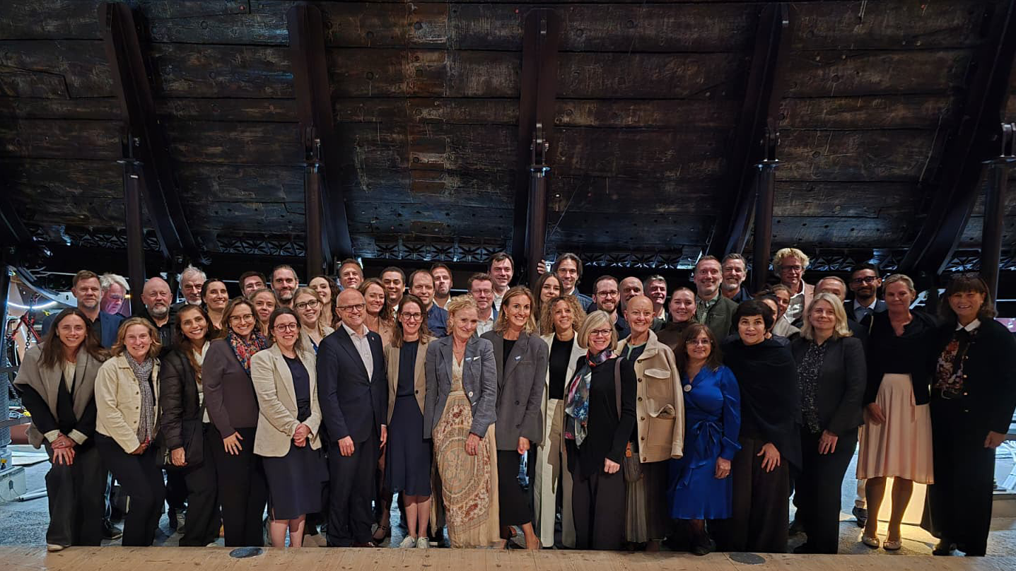
That question was at the heart of the 6th UN Ocean Decade Foundations Dialogue, held September 7–9 in Stockholm, Sweden. The Khaled bin Sultan Living Oceans Foundation joined philanthropic organizations from around the world for three days of discussion, collaboration, and planning focused on accelerating progress during the second half of the UN Decade of Ocean Science for Sustainable Development.

Facilitated by UNESCO’s Intergovernmental Oceanographic Commission (IOC), the UN Ocean Decade Foundations Dialogue is a growing network of more than 30 philanthropic organizations committed to advancing ocean science, collaboration, and action. Since its creation within the framework of the Ocean Decade, the Dialogue has provided foundations with a space to exchange ideas, develop partnerships, and explore how philanthropy can help advance a healthy and resilient ocean.

Hosted by the Voice of the Ocean Foundation (VOTO), this year’s gathering began with From Depth to Action, an Opening Forum that brought nearly 100 leaders from the Swedish and international ocean community together at…

Read More

Meet IFAN: Helping Bring Navigate with Care to the Next Generation

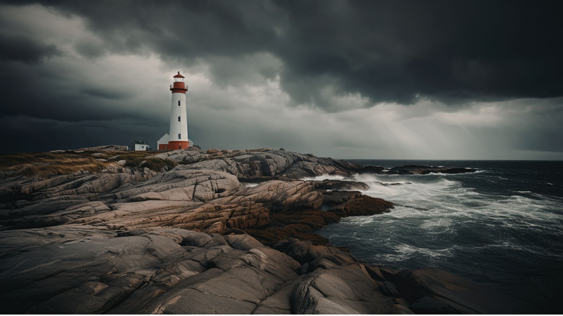
If you’ve ever seen a lighthouse flashing from the shore or a brightly colored buoy bobbing in the water, you’ve seen Aids to Navigation at work.

Aids to Navigation, often called AtoNs, help mariners navigate safely. They can mark channels, warn of hazards, help vessels determine their position, and provide other information people need to make safe decisions on the water. Around the world, these systems help guide everything from small recreational boats to large commercial or container ships. 

But safe navigation isn’t only about protecting vessels and the people aboard them. The choices mariners make can also affect the animals and ecosystems beneath and around them.

That connection between maritime safety and ocean conservation is at the heart of this year’s Science Without Borders® Challenge—and of our partnership with this year’s theme sponsor, the International Foundation for Aids to Navigation (IFAN).

Read More
Privacy Overview

This website uses cookies so that we can provide you with the best user experience possible. Cookie information is stored in your browser and performs functions such as recognising you when you return to our website and helping our team to understand which sections of the website you find most interesting and useful.  You can view our complete Privacy Policy here.

Strictly Necessary Cookies

Most of our cookies are used to improve website security and reduce spam. These cookies should be enabled at all times. They also enable us to save your preferences for cookie settings.

3rd Party Cookies

This website uses Google Analytics to collect anonymous information such as the number of visitors to the site, and the most popular pages. Keeping this cookie enabled helps us to improve our website.