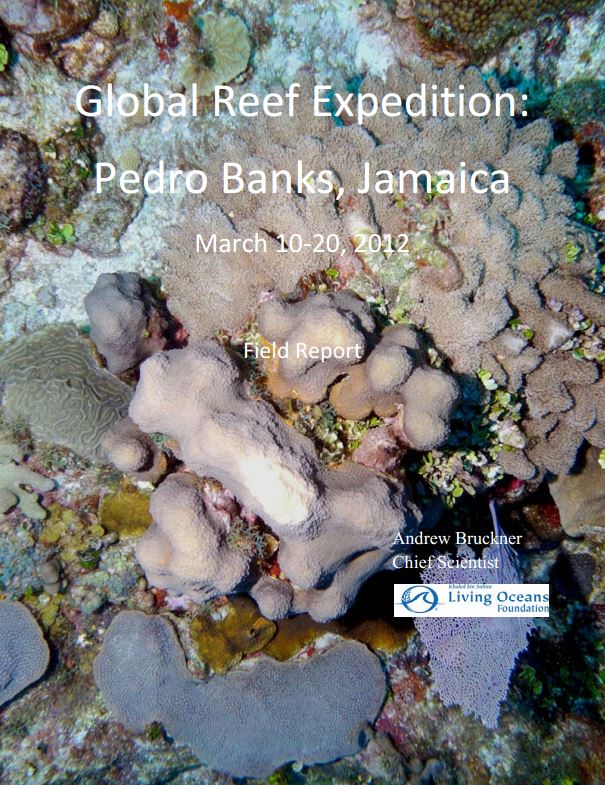
Global Reef Expedition Pedro Bank, Jamaica Field Report March 10‐20, 2012
The coral reefs located off the north coast of the Jamaican mainland are some of the best and most studied reefs in the world (Hughes 1994). In contrast, very few research studies have been conducted on the banks located off the south coast of Jamaica. The first and only comprehensive coral reef assessment conducted on a portion of Pedro Bank was completed in 2005 (Kramer 2006). Since this time, considerable work has been done in the development of management measures to protect these resources. This includes development of a possible zoning strategy, including the adoption of marine protected areas (i.e. a fishery reserve off southwest Cay). To date, no protection has yet been adopted for these areas, although stakeholder consultations have been completed and recommendations have been provided to the relevant government agencies in Jamaica.
Pedro Bank is Jamaica’s most valuable and largest fishing ground. It is beginning to experience overfishing, like most other locations in Jamaica. A long history of fishing of lobster, conch, and fish has led to the overexploitation of these fisheries on Pedro Bank (Aiken et al. 1997; Gittens 2001; Koslow et al. 1988; Munro 1983; Nicholson and Hartsuijker 1983). The number of people living on Pedro Cays has increased over the years resulting in increased resource extraction, destruction of coastal vegetation, excessive trash debris, no sewage treatment, and diminishing habitat for nesting turtles and seabirds (Espeut 2006, Hay 2006).
We conducted an extensive survey of coral reef habitats within Pedro Bank to help inform constituents of the value of these resources and the benefits that would ensue through the development of a network of marine protected areas. In particular, the establishment of fish sanctuaries will help build connectivity, enhance resilience, and protect vital larval supplies, fish stocks and keystone habitats. The current research used the Atlantic and Gulf Rapid Reef Assessment protocol, which is the same methodology applied in 2005. Many of the same areas assessed in 2005 were evaluated during this study and we expanded surveys to new locations. Additional pilot efforts to map the proposed fish sanctuary were undertaken.