Atlas of the Amirantes
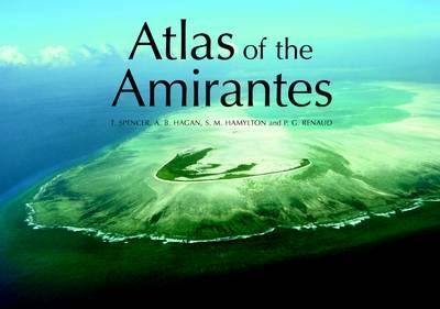
The Atlas of the Amirantes contains high-resolution benthic habitat maps that were created from this research project for the purpose of aiding the Seychelles government in marine conservation efforts and management plans.
The Atlas of the Amirantes contains high-resolution benthic habitat maps that were created from this research project for the purpose of aiding the Seychelles government in marine conservation efforts and management plans.
BUZZ By Gavin October 8, 2019 The Alligator Head Foundation in East Portland has moved to redirect the focus of science students in the parish, by swapping aspects of the biology curriculum to give children a better appreciation of forests
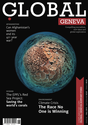
Global Geneva Magazine By Liz Thompson They set out to survey the health of remote coral reefs. As Liz Thompson writes, the team returned with the largest collection of high-resolution coral reef maps on Earth. IN 2011, scientists from the
With the storytelling tools in ArcGIS, the ocean community is telling powerful stories about ocean science, conservation, exploration, and field work. The Story Maps in this collection by Esri were chosen for the outstanding ways that they are informing, educating,
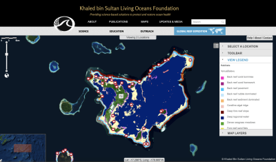
Maxar August 13, 2019 By Sam Purkis, PhD, Chief Scientist of the Khaled bin Sultan Living Oceans Foundation How the Khaled bin Sultan Living Oceans Foundation used Maxar satellite imagery to create the largest high-resolution maps of coral reefs
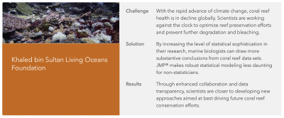
JMP June 28, 2019 With climate change fast eliciting coral bleaching on global scales, marine biologists are using predictive modeling to help prioritize conservation efforts. Though coral reefs constitute less than 2% of the Earth’s oceans, they play

Science Magazine May 3, 2019 Scientists have produced a global atlas of coral reefs with unprecedented breadth and detail, providing a new baseline to track the health of these living structures threatened by climate change. The atlas (https://maps.lof.org/lof) focuses on

Phys.org April 23, 2019 A study from scientists at the Khaled bin Sultan Living Oceans Foundation and the University of Miami (UM) Rosenstiel School of Marine and Atmospheric Science offers a new way to accurately map coral reefs using a

Gizmodo Australia April 24, 2019 Coral reefs line shores around the world, but they’re sometimes tough to spot because well, they’re underwater. Now, a group of researchers has found that satellite imagery is capable of mapping reefs on a global

Popular Mechanics April 25, 2019 An international team of scientists has created the world’s first global coral reef atlas. The atlas, created with the help of Earth-orbiting satellites and field observations, contains 25,097 square miles (65,000 square kilometers) of coral