May 3, 2019
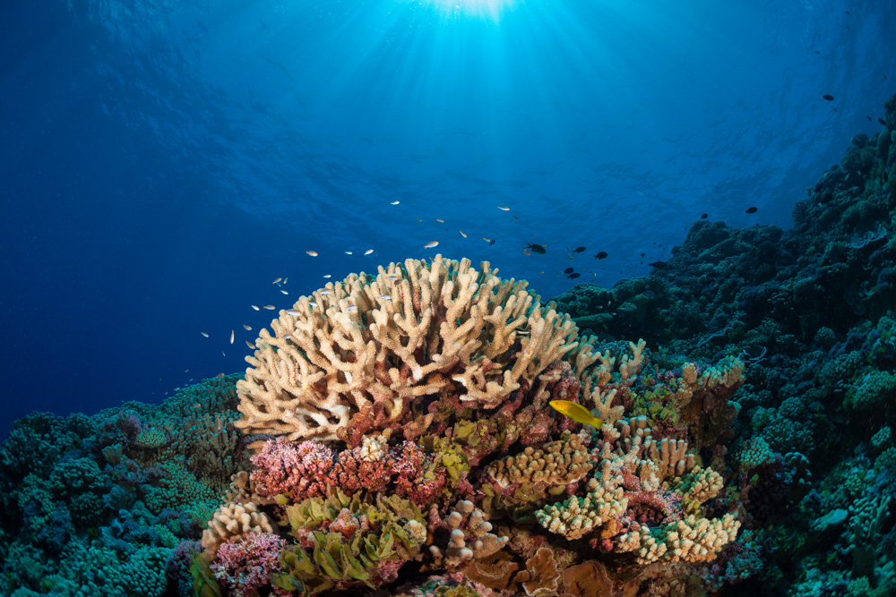
 Scientists have produced a global atlas of coral reefs with unprecedented breadth and detail, providing a new baseline to track the health of these living structures threatened by climate change. The atlas (https://maps.lof.org/lof) focuses on remote, understudied reefs and maps more than 65,000 square kilometers of them, about 25% of the estimated total area of all reefs worldwide.
More than 200 scientists helped collect field data over 10 years, in expeditions to more than 1000 reefs on a research ship owned by the Khaled bin Sultan Living Oceans Foundation in Annapolis.
Researchers matched their detailed observations—including types and amounts of coral in square-meter survey plots, supplemented with underwater video—to information from satellite images and fed the data into a computer model. The model, described in the April issue of Coral Reefs, was used to create maps for nearby areas not sampled during the expeditions.