Scientific methodology
The Scientific Method of Coral Reef Science Surveys
 We need a clear scientific method to ensure that we all work together in a coordinated manner. A set methodology also enables us to be sure that we eliminate, or at least reduce, any error in our measurements, and allows for standardized practices around the world for comparative purposes.
We use the following methodologies in our research:
REMOTE SENSING AND HABITAT MAPPING
We create habitat maps of the seafloor through a combination of high-resolution satellite imagery, aerial survey imagery and detailed survey information from the seafloor. First, we work with DigitalGlobe to collect the satellite imagery. Then we use a remote digital airborne sensor known as CASI (Compact Airborne Spectrographic Imager) to record the amount of light energy that is reflected from various objects, such as coral, seagrass, and sand. That information is compiled with information from our other survey methods listed here to build colored-coded images of the seabed and GIS layers of a survey area.
CORAL COMMUNITY STRUCTURE
We assess the diversity, abundance and size structure of stony corals, the number of young coral individuals, and coral health. For corals displaying signs of recent death, we record the genus, size, percent of mortality, and type of disease, and then photograph the coral colony.
CORAL DISEASE SAMPLING
We identify coral diseases and other causes of recent coral death whenever possible, we take steps to identify signs of stress that could contribute to poor coral health. When a particular disease is identified, we collect tissue samples for verification.
RESILIENCE ASSESSMENTS
Information from seafloor assessments and phototransects are combined with a rapid assessment of physical, environmental, and biological resilience factors for coral reefs.
INVERTEBRATE SURVEYS
We count and record the number of giant clams, sea urchins, octopuses, lobsters and other large invertebrates that are capable of movement.
OCEAN CHEMISTRY AND CURRENTS
We take water samples from within our survey areas and analyze them to determine the amount of dissolved Carbon Dioxide in each sample. We also use a current meter to take measurements of the strength and direction of ocean currents. In addition, we take measurements of ocean temperature and salinity in each survey area.
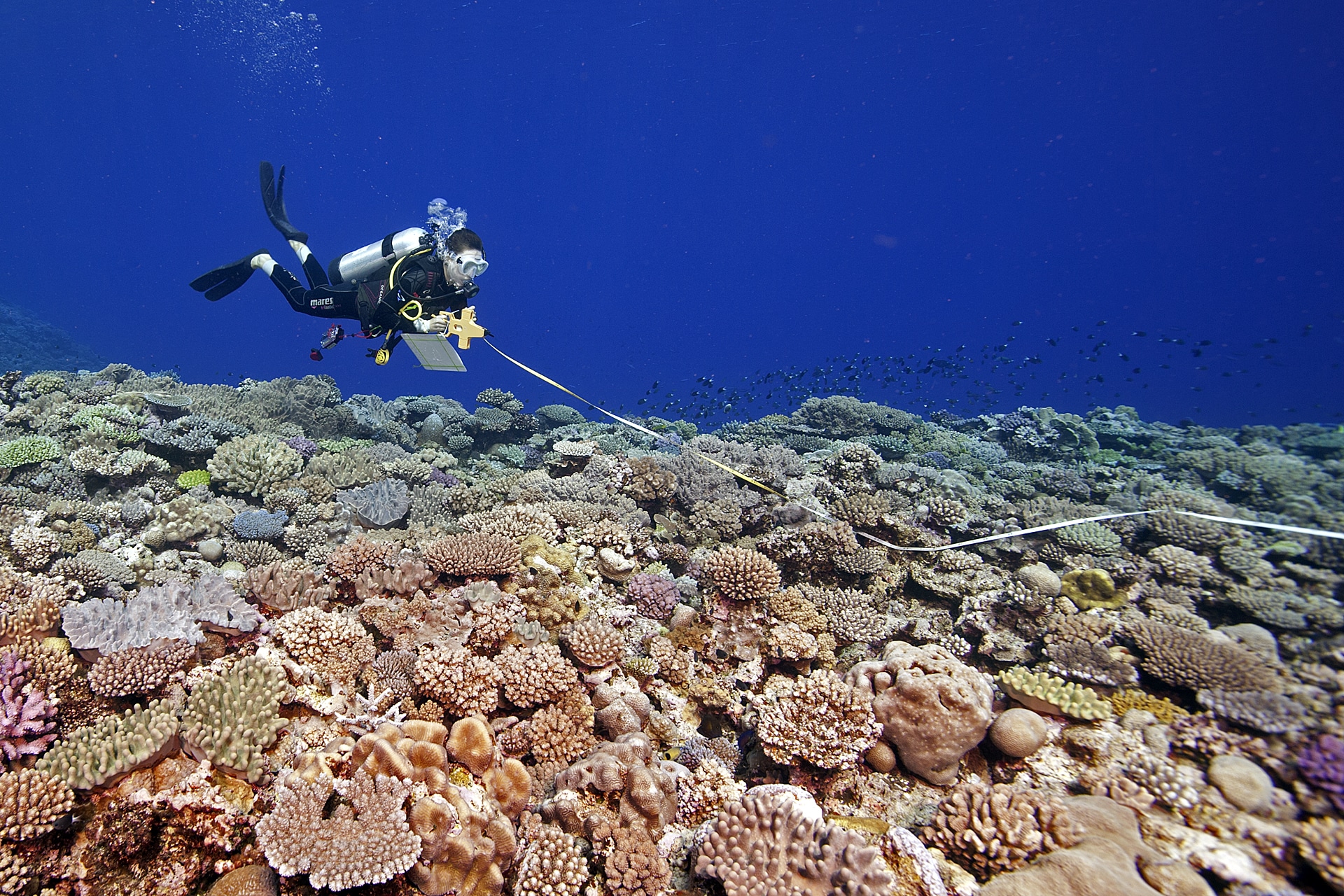
SEAFLOOR PHOTOTRANSECTS
Digital still photographs and high-definition video footage are taken of representative coral reef habitats along transect lines at three depths. We then analyze the images to determine coral cover, areas of sand, rubble, and seagrass as well as other substances on the seafloor to assess the composition of an area.
FISH COMMUNITY STRUCTURE
We take a detailed census of commercially and ecologically important reef fishes, with an emphasis on top predators such as groupers, snappers, and sharks (which are important target species for fishermen) and herbivores such as parrotfish (which are important in controlling macroalgae). We survey the number and variety of fish at the same locations where we survey the seafloor, in order to determine the fish associated with different habitat types. This provides us with a baseline for monitoring the fish communities for changes over the years.