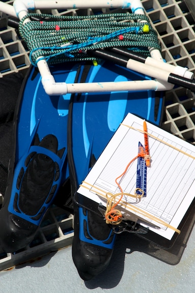
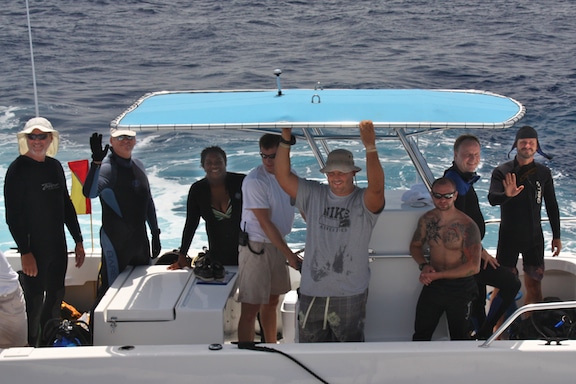
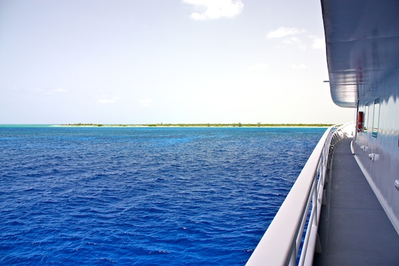
At last we have reached the Inaguas! After a few days underway, the Golden Shadow is laying at anchor off the western shore of Great Inagua. Great Inagua is located between 20.9° to 21.4° North latitude and 73° to 73.9° West longitude. As this blog is being written, divers are counting and identifying fish, corals and invertebrates, measuring coral coverage, searching for corals affected by disease, and mapping the underwater habitats of the area using high tech electronics.
The day began with checkout dives for the divers in need of a refresher and a brief soak in the cerulean waters. Once everyone had all the details of dive gear and scientific sampling equipment sorted out, the real work began. A small scouting team left the Golden Shadow in one of the rigid-hull inflatable boats (known as a RHIB, or a tender) to check out a reef they had spotted in aerial photographs on the over-flight reconnaissance mission several weeks ago (read more about that airborne expedition in a previously posted blog by clicking here). The spot proved to be perfect for scientific study and was agreed upon as the first dive sight of the expedition.

After lunch, the first group of scientific divers departed for the dive site and began sampling and surveying. Throughout the afternoon’s dives, the research divers were pleased to find healthy corals, representative fish populations and few signs of overfishing or damage from boat anchors. Because the Inaguas are relatively isolated and support a small population of people (less than 2000 individuals), the man-made impacts and pressures that are all too common on many reefs are not immediately apparent here.

Once the afternoon’s hard work was completed, a few members of the research team went ashore near the northern tip of Great Inagua to investigate the geology and ecology of the island, firsthand. The highest point of land on the island is 33 meters above sea level. The sandy soils that run along the island’s shores support salt tolerant plants, such as sea grapes (Coccoloba uvifera), a few hardy grasses, sea purslane (Sesuvium portulacastrum) and saw palmetto (Serenoa repens). Several Australian pine trees (Casuarina sp.) appear along the coast with their shaggy branches reaching out above the rest of the vegetation. This species is not native to the Bahamas, but has established itself throughout the Caribbean and is now a common sight in the islands. Walking a little further inland, the researchers noted slightly more organic soils that support resilient tropical hardwoods and shrubs, such as the gumbo limbo tree (Bursera simaruba) and bushy, fragrant stoppers (Eugenia sp.).

Back on board, showered and fed, the team shared the day’s findings during a brief meeting. All were pleased with the outcome of our first day of diving and surveying at the Inaguas. The weather forecast looks good for another day of continued coral reef research in our present location tomorrow, and the team is prepared to continue diving and collecting data on the Inaguas portion of the Global Reef Expedition.
Written by Kit van Wagner
(Photo/Images by: 1 – 3 Kit van Wagner)
To follow along and see more photos, please visit us on Facebook! You can also follow the expedition on our Global Reef Expedition page, where there is more information about our research and our team members.