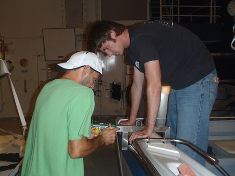
The third and final leg of the Bahamas’ expedition left the dock at Nassau around 8 pm last night. The research team was all assembled on the Golden Shadow by 5:30 pm and had a safety muster on the aft deck. Remember, safety is no accident. After a great dinner, the scientists prepared for the research ahead.

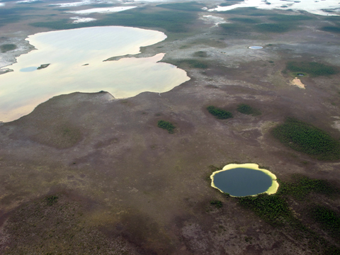
After steaming south all night we arrived at the southern tip of Andros Island. Actually, Andros Island is an archipelago, or chain, of three different islands. The islands are North Andros, Mangrove Cay, and South Andros. Tidal creeks, or bights, separate the islands. Due to the narrow separations, most people consider them one island. Andros Island is the largest in the Bahamian archipelago. It is 104 miles (167 km) long and at its widest is 45 miles (72 km). The west side of Andros is known for its extensive mangroves, seagrass, and sand flats. Andros’ interior boasts the world’s largest collection of blue holes. Blue holes are usually circular vertical caves that can be quite deep and extensively connected. They are the result of erosion when the islands of the Bahamas were exposed during ice ages throughout geologic history. At some points the sea level dropped as much as 390 feet (119 m). There are almost 200 blue holes on Andros Island.

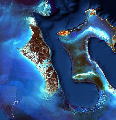
The east side of Andros is home to the world’s third largest barrier reef system. This system runs north and south for ~142 miles (229 km) and west to east for 1-2 miles (2.5 km). The reef system stays relatively shallow from 60 feet (18 m) or less and then the sea floor abruptly drops down to 6000 feet (1800 m) into a body of water called the Tongue of the Ocean (check out its shape below). The Tongue of the Ocean is part of the Great Bahama Canyon. It separates Andros Island and Providence Island. The Tongue of the Ocean was formed about 100 million years ago. It is the result of subsidence, when land shifts downward relative to sea level, and erosion during times of low sea levels. Due to the mixing of water and relative proximity to the Andros Barrier Reef, the waters of the Tongue of the Ocean are ecologically important to large pelagic organisms such as billfish and whales. The word pelagic is a term used to describe organisms that live in the middle of the water column and not associated with the bottom. Those organisms are called demersal (near the bottom) or benthic (on or in the bottom).

Written by Jack Seubert
(Photo/Images by: 1 Jack Seubert, 2 Dr. Sam Purkis, 3 Landsat imagery
To follow along and see more photos, please visit us on Facebook! You can also follow the expedition on our Global Reef Expedition page, where there is more information about our research and our team members.
