OUR WORK
Providing Science-based Solutions to
Protect & Restore Ocean Health
OUR WORK
Providing Science-based Solutions to Protect & Restore Ocean Health
What We Do
Preserving the Health of Our Oceans
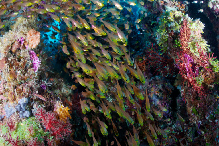
At the Khaled bin Sultan Living Oceans Foundation, we are dedicated to preserving the health of our oceans through science, outreach, and education. Guided by our Science Without Borders® philosophy, we take a collaborative approach to conservation, breaking down barriers between disciplines and communities to co-design solutions that protect marine ecosystems. Our efforts focus on safeguarding coral reefs, restoring mangrove forests, and increasing ocean literacy worldwide.
We believe that lasting conservation comes from working together. That’s why we partner with local communities, governments, and scientists to develop strategies that are both scientifically robust and culturally relevant. By advancing ocean literacy and engaging in hands-on conservation efforts, we aim to empower communities to protect their natural resources and inspire others to join us in preserving the health of our oceans for future generations. Whether it’s through education, capacity building, or collaborative research, we are working to secure a healthy, thriving ocean for all.

Conserving Coral Reefs
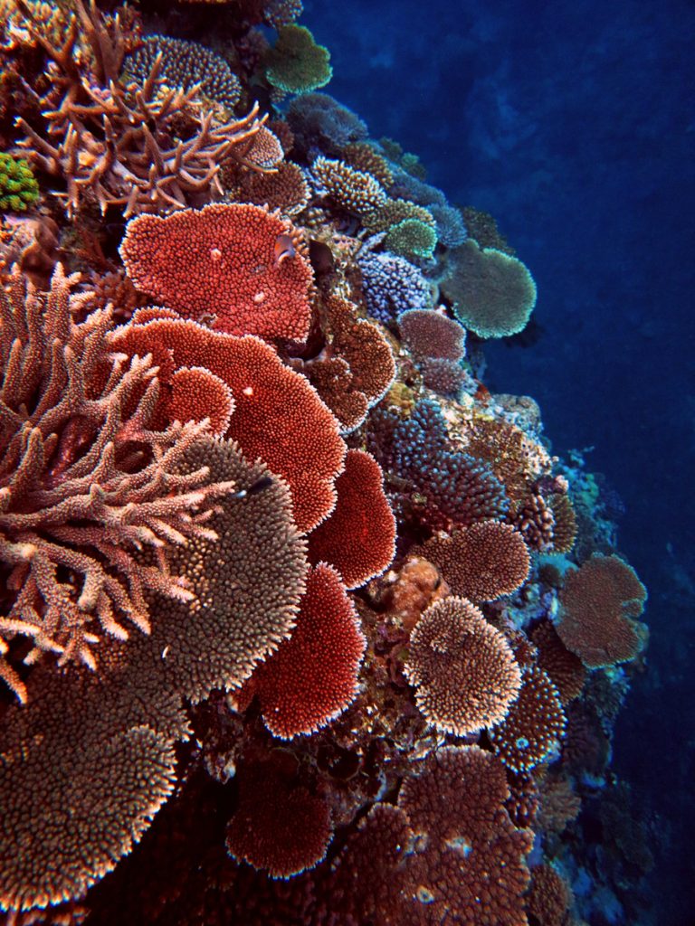
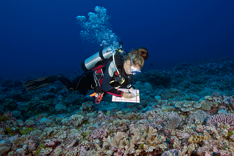
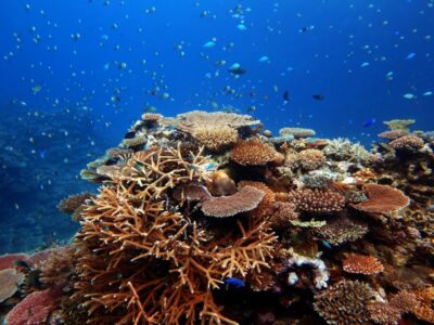
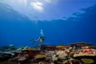
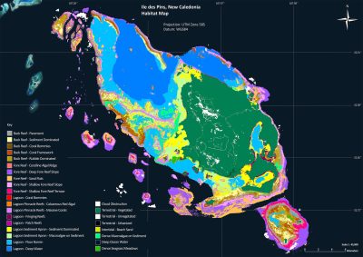
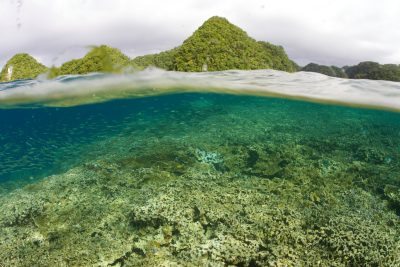
Our flagship initiative, the Global Reef Expedition, spanned over a decade and stands as one of the most comprehensive coral reef studies ever conducted. Through this expedition, we mapped and surveyed the health and resiliency of coral reefs across the globe, providing invaluable data that has shaped marine conservation strategies worldwide.
Today, we continue to support coral reef conservation efforts by sharing our data, using the knowledge we gained to support science-based conservation initiatives, and co-designing conservation strategies with local communities to protect these fragile ecosystems.
Restoring Mangrove Forests
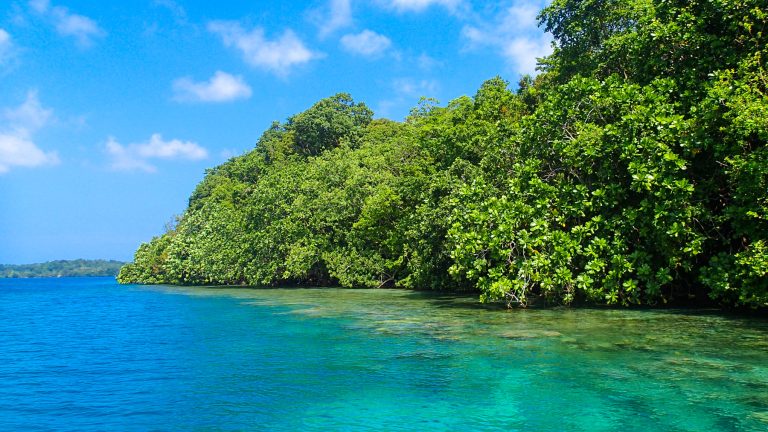
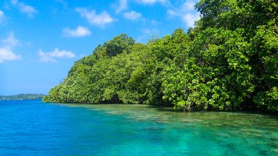
Mangroves are vital to coastal protection, carbon sequestration, and marine biodiversity. Through our Mangrove Education and Restoration program, we work with schools and communities to raise awareness of the importance of mangroves, teach conservation practices, and actively engage students and community members in restoration efforts. These programs are transforming local perceptions of mangroves, fostering the next generation of environmental stewards, and helping to restore these critical habitats.
Improving Ocean Literacy
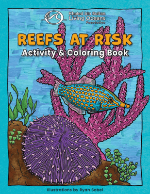
Education is key to driving change. That is why we provide high-quality educational materials and resources for teachers and students around the world. We create lesson plans, activity books, and online tools for students of all ages designed to inspire a love for the ocean while highlighting the importance of marine conservation. Our professional development programs help teachers bring ocean education into their classrooms and build capacity in local communities. Meanwhile, our education programs engage young minds through interactive and immersive learning experiences, ensuring that future generations have the knowledge and passion to protect the ocean.
Inspiring Conservation Action
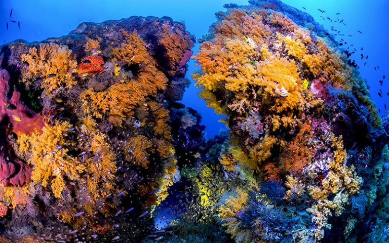
At the Khaled bin Sultan Living Oceans Foundation, we believe that inspiration is the first step toward meaningful action. Through our powerful imagery, engaging videos, informative publications, and immersive experiences, we bring the beauty and fragility of our oceans to life, helping people connect with the marine world and understand the urgent need for its protection. This work provides people with a glimpse into the incredible diversity of life beneath the waves, the challenges facing coral reefs, and the tireless efforts of scientists and conservationists working to preserve them. By sharing our work through compelling visuals and impactful outreach, we are inspiring a global community to join us in the fight to protect our oceans.
Amplifying Global Impact
Through collaborations with international initiatives like the UN Ocean Decade, and partnerships with organizations such as the IUCN, we work to amplify our conservation efforts on a global scale. We collaborate with governments, NGOs, and other organizations to provide science-based solutions and scale up marine protection efforts. By pooling resources and expertise, we help to inform marine conservation strategies and contribute to international efforts aimed at securing a sustainable future for our oceans.
Where We Work
Where Coral Reefs Are Found
The Khaled bin Sultan Living Oceans Foundation works to safeguard the health of coral reefs and associated marine ecosystems around the world. We focus on working in places where local partners seek our expertise, helping ensure their marine environments can be sustainably managed and preserved for future generations. This mission has taken us to dozens of countries across the Caribbean, Pacific Islands, Indian Ocean, and Red Sea to preserve these critical marine ecosystems.
The Caribbean
Pacific Islands
Red Sea

Indian Ocean
The Caribbean
We have conducted thousands of surveys across the Caribbean, providing critical data and maps of coral reefs, mangrove forests, and seagrass meadows to guide conservation efforts. We continue to collaborate with local partners in Jamaica and The Bahamas on mangrove education and restoration, equipping communities with the tools and knowledge to protect these vital coastal ecosystems.
Pacific Islands
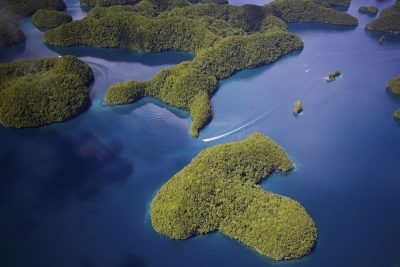
The Foundation has conducted extensive work across the Pacific, surveying the health of coral reefs, mapping shallow-water marine habitats, and helping island nations monitor and manage their marine resources. As part of our UN Ocean Decade Project, Science Without Borders®: Conserving the Tropics, we are empowering local communities with the tools and knowledge needed to sustainably protect their marine environments.
Red Sea
The Living Oceans Foundation published the first comprehensive atlas of Saudi Arabia’s coral reefs in the Red Sea, providing invaluable data for conservation efforts. Since then, we have collaborated with regional partners, sharing our expertise to support coastal management, reef restoration, and sustainable marine resource use in the region.
Indian Ocean
As part of our Global Reef Expedition, we conducted extensive research in the Indian Ocean, assessing the health of coral reefs and identifying key threats like overfishing and coral bleaching. The data collected is helping guide conservation efforts in the region to protect these vital ecosystems and the communities that depend on them.
The Caribbean

Pacific Islands

Red Sea

Indian Ocean

Current Projects
Partners
Working Together for a Healthier Ocean
None of our work would be possible without the contributions of our partners. At the Khaled bin Sultan Living Oceans Foundation, collaboration is at the heart of everything we do. Guided by our philosophy of Science Without Borders®, we partner with governments, scientists, local communities, educators, and NGOs around the world to advance marine science and conservation. Together, we’re protecting coral reefs, restoring coastal ecosystems, and inspiring the next generation of ocean stewards.
Publications
Research to Support Marine Conservation
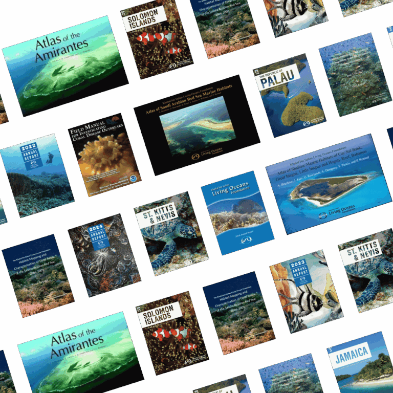
Explore our comprehensive collection of scientific publications, reports, and maps that support marine conservation efforts around the world. With a focus on coral reefs and ocean health, our publications offer valuable data and insights for researchers, policymakers, and conservationists dedicated to protecting marine ecosystems.
Stay Connected
Be the first to hear about our latest research, inspiring conservation stories, and new educational resources. Sign up to receive our newsletter, blog updates, and more—delivered straight to your inbox..
